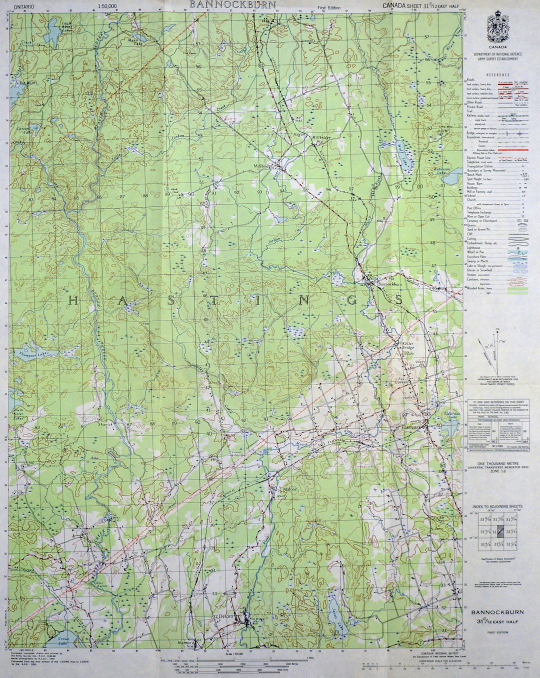
Dividing land into smaller plots is a crucial part of land development, urban planning, and agricultural management. One of the most effective tools used in this process is a tract plotter. This device, whether digital or manual, helps surveyors, engineers, and planners lay out and visualize how a large tract of land can be segmented into smaller sections efficiently. Understanding how to use a tract plotter can streamline the land division process and ensure accuracy in property boundaries.
What Is a Tract Plotter?
A tract plotter is a device or software used to draft and visualize the division of a parcel of land into individual lots, typically for development or resale. It combines geographic data, measurement tools, and plotting functions to help users create precise plot maps. These maps often include details like dimensions, boundary lines, easements, and access roads.

Steps to Use a Tract Plotter
Using a tract plotter involves several key steps. Here’s a structured approach to follow:
-
Gather Land Information
Before plotting, collect all the relevant data about the tract of land. This includes:- Legal land descriptions
- Topographical maps
- Utility placements and easements
- Soil quality and drainage information
-
Choose the Right Plotter
There are manual and digital tract plotters. Modern land professionals often use GIS software or CAD-based tools integrated with tract plotting capabilities for better precision.

-
Input the Base Map
Upload or draw your property’s base map into your tract plotter. This should include current boundaries, scale, and orientation (typically north at the top). -
Set the Plotting Parameters
Define the lot sizes, shapes, and access considerations. Tract plotters allow you to:- Specify minimum and maximum lot sizes
- Plan roads and easements
- Adhere to zoning regulations
-
Plot the Land
Using the tools provided in the plotter, begin drawing the division lines. The software may offer automated suggestions based on your parameters or allow for manual overrides. -
Review and Adjust
Evaluate the layout for practicality, access, traffic flow, and regulatory compliance. Adjust the plots accordingly before finalizing. -
Export and Save
Once confirmed, export the plot map in PDF or CAD format for submission to local planning departments or for use in proposals.
Benefits of Using a Tract Plotter
Tract plotters streamline the otherwise complex process of land division. Their benefits include:
- Precision: Minimizes errors in measurements and boundaries.
- Efficiency: Cuts down time by automating repetitive calculations.
- Visualization: Offers a clear visual representation of land divisions for stakeholders and clients.
- Compliance: Helps ensure all subdivisions meet zoning and land use regulations.
Common Applications
Tract plotters are used in several areas:
- Residential subdivision planning
- Commercial real estate development
- Farmland sectioning
- Municipal zoning and planning projects
Conclusion
Learning to use a tract plotter is invaluable for professionals involved in land development. Whether planning a residential community or organizing farmland, this tool offers precision, convenience, and confidence. With just a few steps—data gathering, parameter setting, plotting, and fine-tuning—land can be effectively divided while maintaining compliance and maximizing usability.
Frequently Asked Questions (FAQ)
- What software is commonly used as a digital tract plotter?
- Common software includes AutoCAD Civil 3D, ArcGIS, and LandVision. Each varies in features and user interface.
- Can I use a tract plotter without land surveying knowledge?
- While basic plotting is possible, understanding land surveying principles ensures better accuracy. It is best to consult a professional if unsure.
- Is it legally required to use a tract plotter for land division?
- No, but using one can help meet regulatory requirements more efficiently and is often part of the submission process to planning authorities.
- Do tract plotters work with GPS data?
- Yes, many modern plotters can integrate GPS and GIS data for more accurate plotting, especially in rural or large tracts of land.
- How accurate are digital tract plotters?
- Digital plotters offer high precision, often within inches, depending on the input data’s quality and the software used.


